


Warning Zone Mornington Island to Kowanyama, including Burketown and inland areas to Croydon

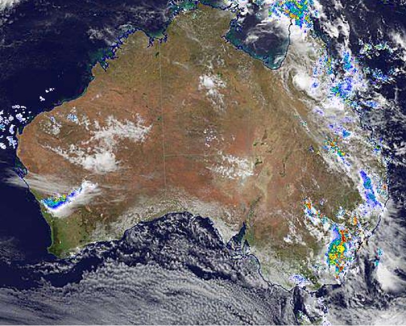
Tropical cyclone Imogen has weakened to a tropical low but remains a dangerous system with widespread flooding rainfall expected over northern Queensland.
Intensity: tropical low, sustained winds near the centre of 55 kilometres per hour with wind gusts to 85 kilometres per hour.
Location: within 35 kilometres of 17.7 degrees South, 142.4 degrees East , 60 kilometres north northeast of Croydon and 140 kilometres east of Normanton .
Movement: east southeast at 14 kilometres per hour .
Tropical cyclone Imogen has now weakened into a tropical low.
The low is expected to continue moving east-southeastwards in the short term, taking it further inland today.
Longer term, the system is expected to track more slowly to the southeast towards the North Tropical and Herbert-Lower Burdekin coasts.
GALES with wind gusts to 90 km/h have eased about the tropical low. However, DAMAGING and LOCALLY DESTRUCTIVE winds are still possible with thunderstorms in the area - refer to the Severe Weather Warning.
HEAVY RAINFALL that is likely to lead to flash flooding, flooding of low lying areas and riverine flooding is expected to continue near and to the east of the tropical low for the next few days
Latest Image Received at: Mon 04 Jan 2021